Ordnance Survey Licensed Data
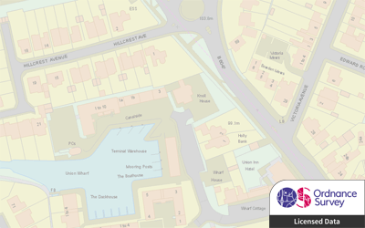
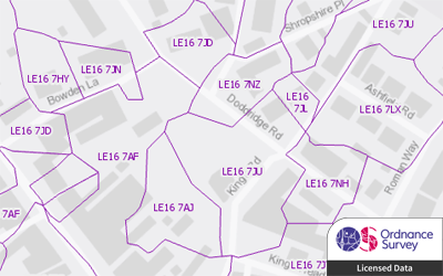
Ordnance Survey produce a range of licensed data products, including detailed topographic data from MasterMap® and VectorMap® Local, postcode data from Code-Point® with Polygons and comprehensive address data from AddressBase®.
GIS4BUSINESS is an OS Partner and can supply OS licensed data products in a range of formats and for the coverage you require, from a small area to full UK coverage. There are many licensing options, depending on the intended use and quantity of data required, so please contact us to discuss your specific requirements.
Feel free to browse a selection of our OS licensed data products below.


