OS Terrain 50 Contours
OS Terrain® 50 Contours from Ordnance Survey is a low-resolution terrain dataset covering the UK, consisting of contour lines, spot heights and tidal boundaries at 50 metre resolution, with a vertical contour interval of 10 metres.
The OS Terrain 50 contour data can be combined with other OS datasets, such as OS Open Map Local or OS Vector Map District to provide map reference data. It can also be used for basic spatial analysis and 3D visualisation.
GIS4BUSINESS is an OS Partner and can supply OS Terrain 50 data in most major formats and for the coverage you require, from a small area to full UK coverage.
| Type | Vector – Points & Lines |
| Layers | Contours, Land Water Boundaries, Spot Heights |
| Scale | Nominal viewing scale of 1:50,000 |
| Coverage | Full UK or your area of interest |
| Update Frequency | Annual |
| Formats Available | Esri Shapefile, Esri File Geodatabase, MapInfo TAB, PostGIS, Others |
| Pricing | Processing fee (dependent on coverage and format) |
| Licensing | Open (License Information) |
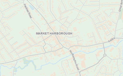
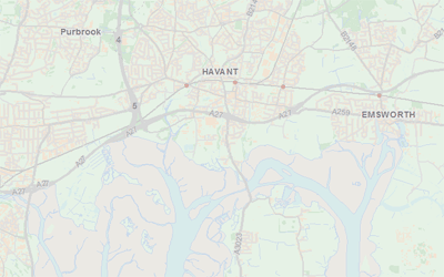
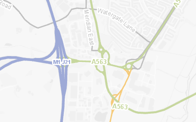
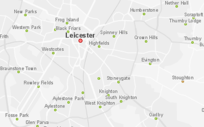
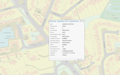
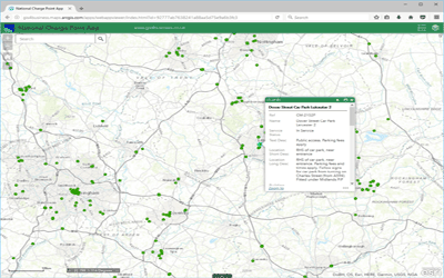
Click or tap a feature on the map to view the attributes.


